ImageAiry
World’s first marketplace for satellite imaging services
Updated on November 22, 2015
World’s first marketplace for satellite imaging services
Updated on November 22, 2015

.jpeg)
.jpeg)
.jpeg)
.png)
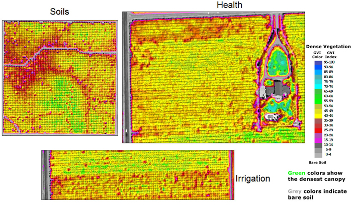
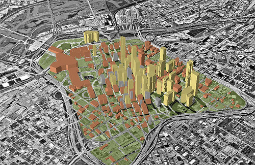
At present, satellite and aerial imagery is widely used in a variety of industries from agriculture and mining to construction and ecology. ImageAiry is the world’s first marketplace of satellite and aerial imagery services that makes access to Earth observation services simple and convenient.
Companies in various industries, from agriculture to construction use satellite imagery for decision-making support. However, business owners who are dependent on satellite images face the challenge of specifying complex technical parameters and must have an engineering background – or hire someone who can do that for them.
Based on the user’s industry or specific task the search algorithm finds and suggests suitable satellite pictures, imagery resellers or consulting companies which are suitable to business owners’ specific needs. The service might, for example, help tour operators to avoid selling packages to flooded regions or assist agricultural companies seeking high crop yielding areas. It allows users to access remote and complex services with a few clicks of a mouse.
Thus, ImageAiry provides a powerful, reliable and inexpensive source of information for companies worldwide.
.jpg)
.jpg)